
Surveying & Mapping
Drones have revolutionized surveying and mapping, offering numerous applications and major benefits over traditional methods. Their aerial capabilities, high-resolution cameras, and advanced sensors make them ideal for capturing accurate and detailed geospatial data. Here is how drones can be applied and prove beneficial in surveying and mapping.
Aerial Surveys and Mapping
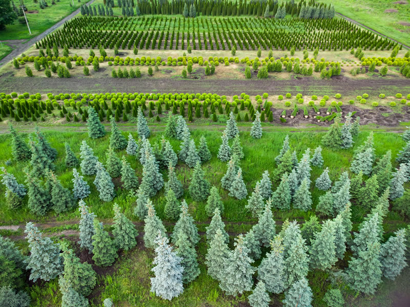
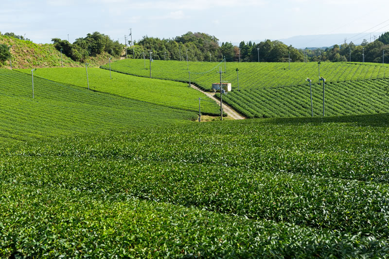
Drones equipped with high-resolution cameras can efficiently capture aerial imagery of large areas. By flying predetermined flight paths, drones can cover extensive landscapes and capture high-quality imagery from different angles. This data is processed to create accurate orthomosaic maps that provide a detailed representation of the surveyed area. Drones enable faster and more cost-effective data collection than ground-based methods, making them highly suitable for large land parcels, infrastructure projects, and construction sites.
3D Modeling and Topographic Mapping
Drones equipped with LiDAR sensors or photogrammetry techniques can capture data that enables precise 3D models and topographic maps. LiDAR drones emit laser pulses and measure return times to create highly accurate point-cloud data. This can be used to generate digital elevation models and detailed terrain models for landform analysis, volumetric calculations, and contour mapping. Photogrammetry-equipped drones capture overlapping images that can be processed into dense point clouds and 3D models.
Environmental Monitoring and Change Detection
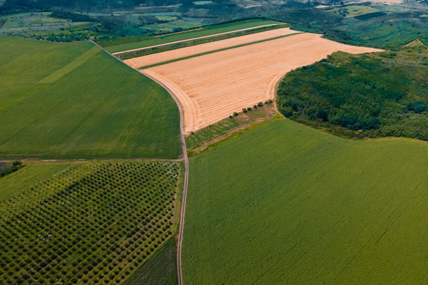
Drones equipped with advanced sensors such as multispectral or thermal cameras can be used for environmental monitoring and change detection. They can capture data on vegetation health, land-cover changes, or thermal anomalies. This is useful for assessing vegetation growth, monitoring deforestation, identifying erosion-prone areas, or detecting environmental change over time. High-resolution and current data supports better decision-making in land management, conservation, and environmental assessment.
In summary, drones offer significant benefits in surveying and mapping. They support efficient aerial surveys, accurate orthomosaic maps, detailed topographic analysis, and ongoing environmental monitoring. By leveraging drones, professionals can improve efficiency, accuracy, and decision-making across surveying and mapping projects.